Foundation Works Shed Light on the History of Cyprus

Cyprus Foundations Administration has carried out a new study on the history of Cyprus.

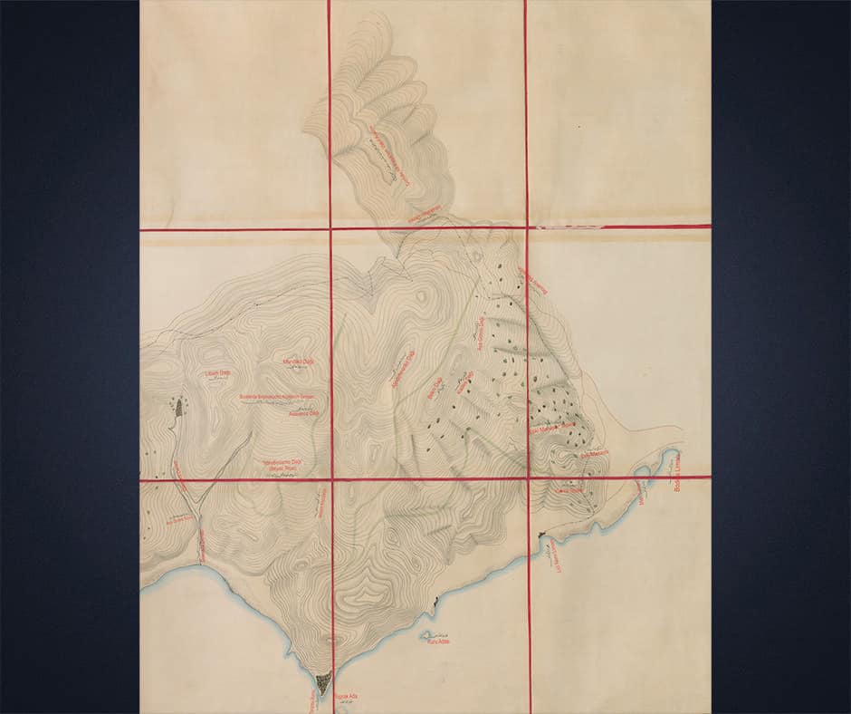
Consisting of maps and evaluation book about Cyprus, “Sultan II. The study titled "Cyprus Maps of the Era of Abdulhamid" was presented to the Turkish Cypriot People by Foundations.

As can be seen from the sample map image below, according to the studies carried out, it is understood that these maps, which are all handmade, were drawn in 1878. Accordingly, it is considered that these are the last maps drawn about Cyprus by the Ottoman sultans, and the fact that the maps are exactly true to reality also increases the scientific value of these maps.

In the content of the maps

Waterways, dams, military buildings, sea and highways, natural harbors, underground riches, fortifications and construction activities are depicted.

Sultan II by clicking the link below. You can access all of the Abdulhamid Era Cyprus Maps and examine them as you wish.